
Forest Foresight
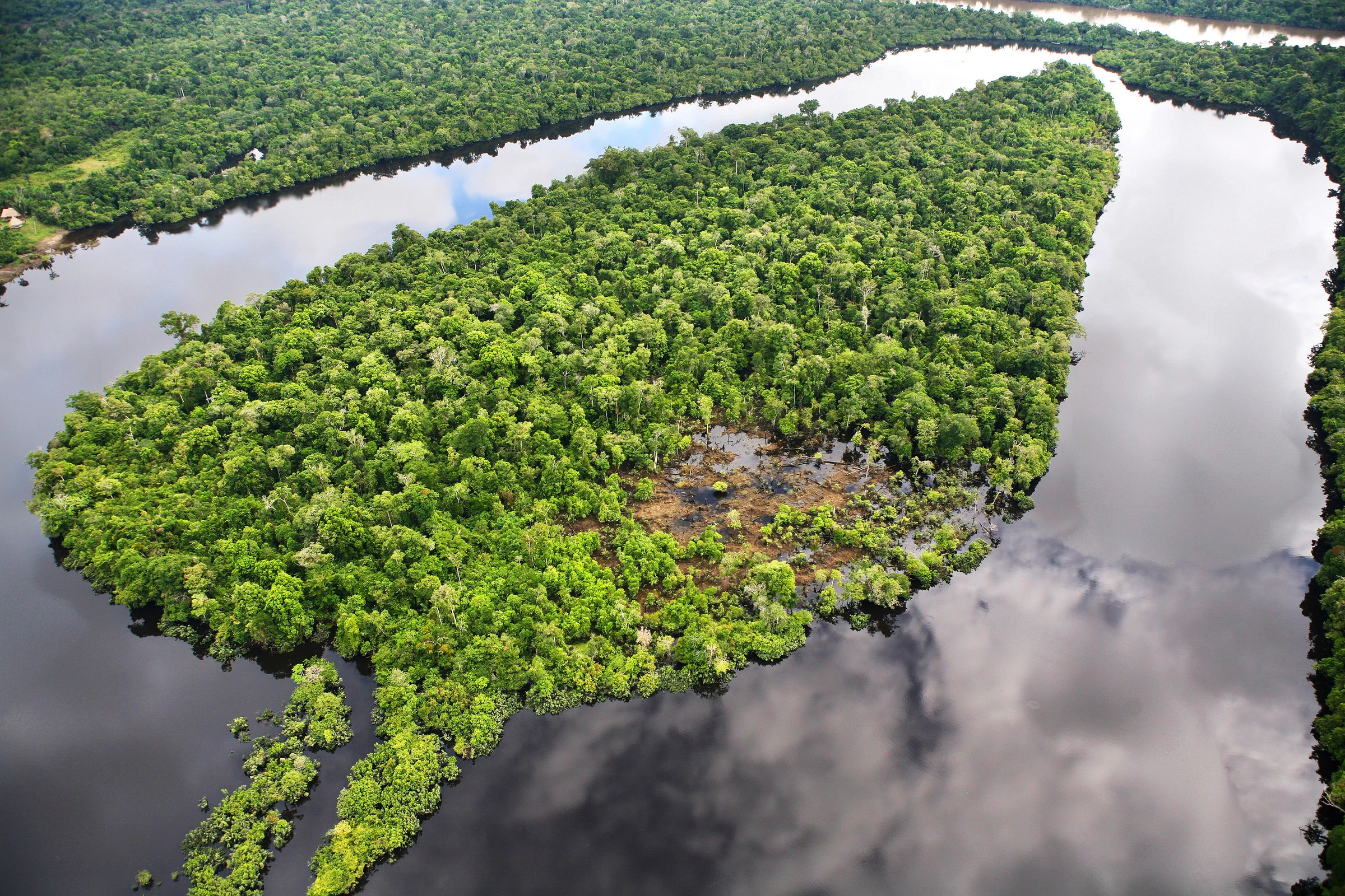
Worldwide, nearly six million hectares of forest are lost annually due to deforestation. That is almost one and a half times the total area of the Netherlands. With Forest Foresight, we can predict and prevent illegal deforestation.
Preventing illegal deforestation
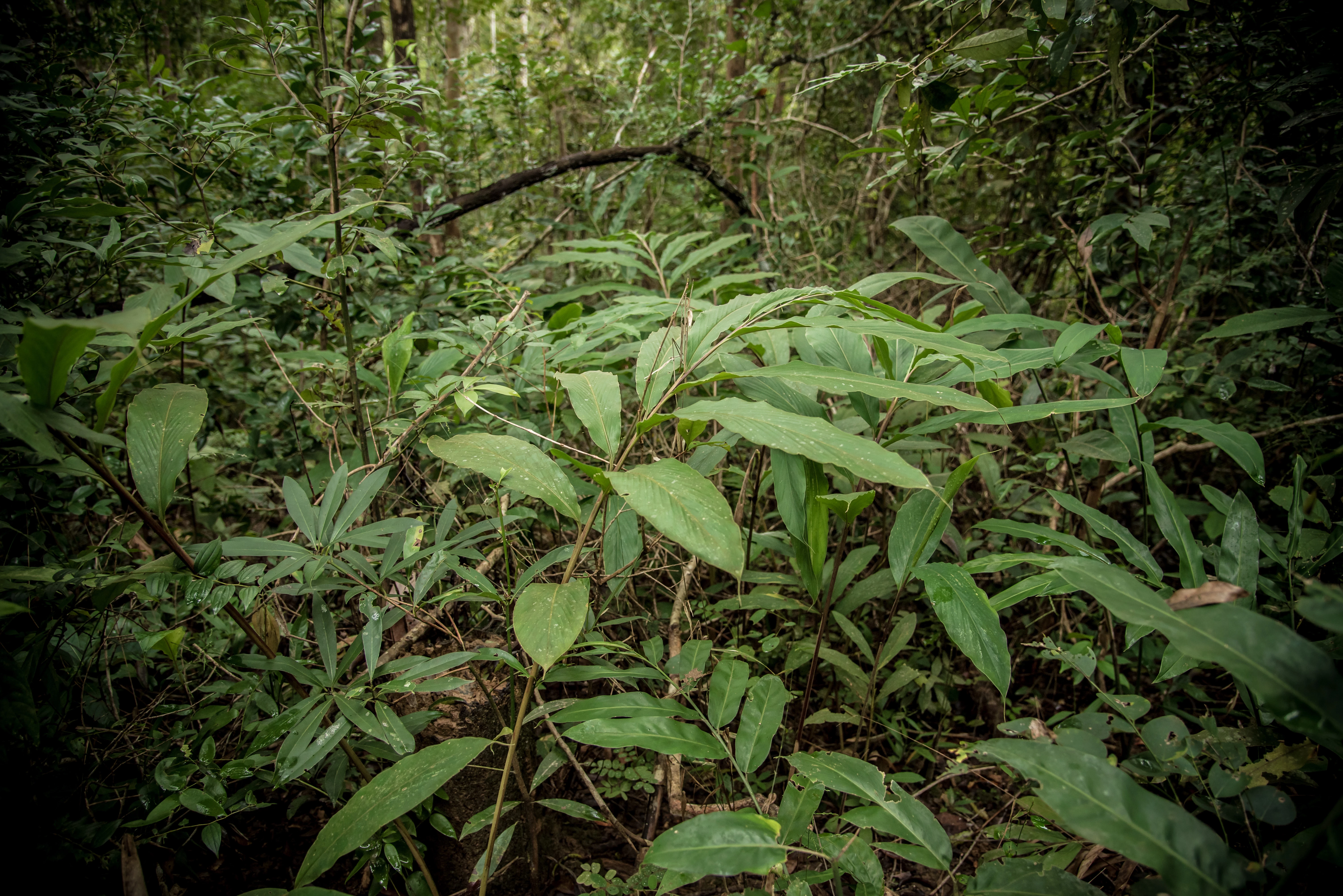
Illegal deforestation is one of the biggest threats to nature and thus to wildlife habitats. Every minute, an area the size of 16 football fields disappears worldwide due to human activity. Forests are essential for our survival: they provide drinking water, food, medicine and building materials and offer a home to millions of animals and humans. Forests are also an important ally in our fight against climate change.
Together with partners, WWF developed Forest Foresight, an innovative solution which helps us to predict and prevent illegal deforestation in order to protect important forests.
WHAT IS FOREST FORESIGHT?
Most systems alert when logging has already started and damage to nature has already occurred. Forest Foresight predicts illegal deforestation up to six months before it takes place.
This AI-model connects big data - such as satellite imagery - and human activity, such as population densities and road construction in order to detect if deforestation might take place. If a road is built, it can be used as an access road for machines to cut down trees. As soon as such a change is spotted, an alert goes out to relevant people in the area. They can then take appropriate action and prevent the area from being illegally deforested.
The involvement of local stakeholders (such as residents, organizations, companies and government agencies) is an important part of the process. They ultimately become the users of Forest Foresight. Local people in particular depend on the forest for their food and livelihoods, and they have been protecting their forest land for centuries. Forest Foresight helps communities to better protect their environment, for example by preventing illegal deforestation in their community forest.
Forest Foresight explained
What's the problem?
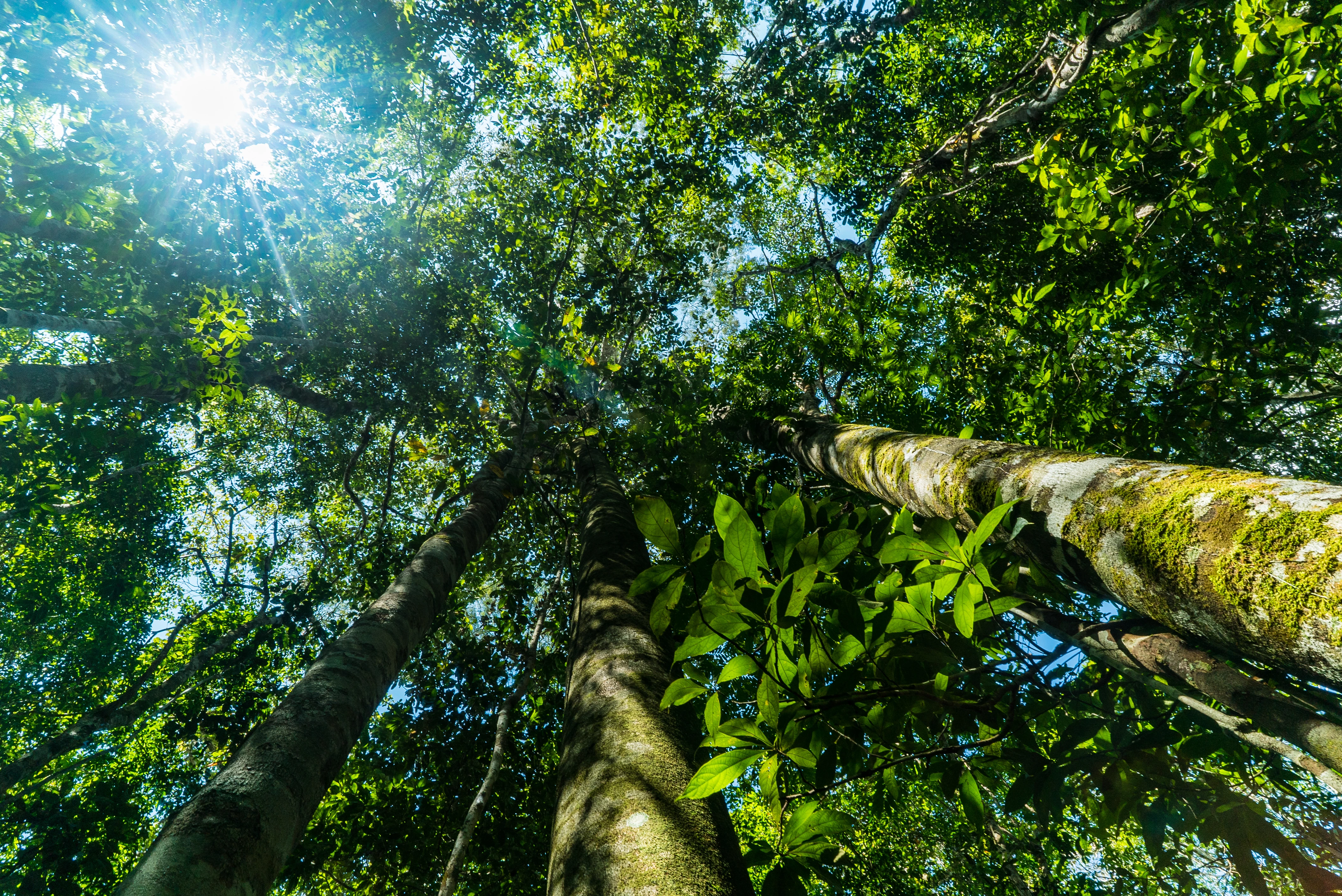
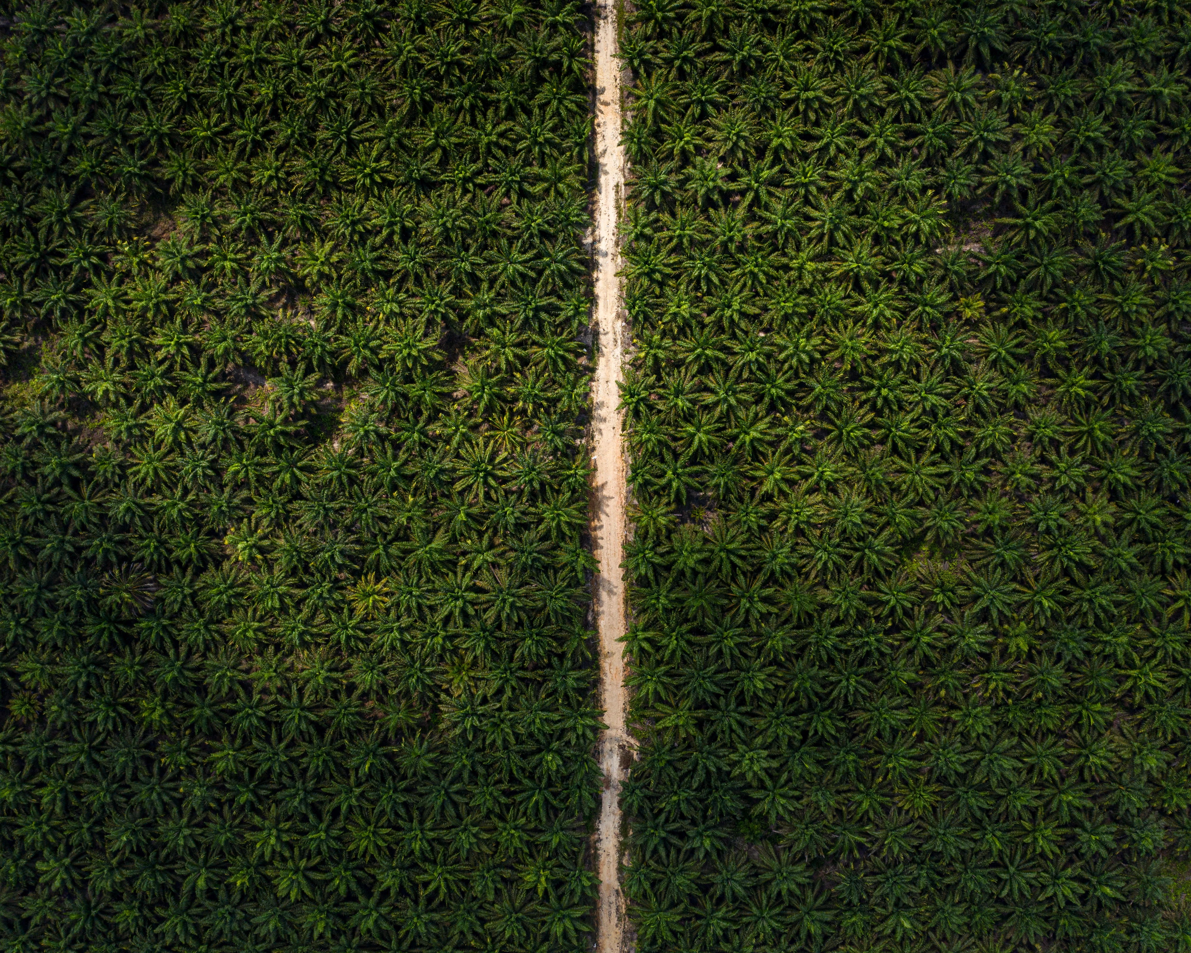
Forests are the home to three quarters of all life on land. Unfortunately, times are tough for many forest areas. Every minute, 16 football fields of forest disappear, and deforestation is therefore the biggest threat to existing forests. The biggest cause of deforestation is making way for agriculture and cattle breeding. In addition, forests are destroyed for the construction of palm oil plantations, the paper industry and mining, for example. All over the world people and animals lose their habitat this way.
-
1
Preventing instead of recovering
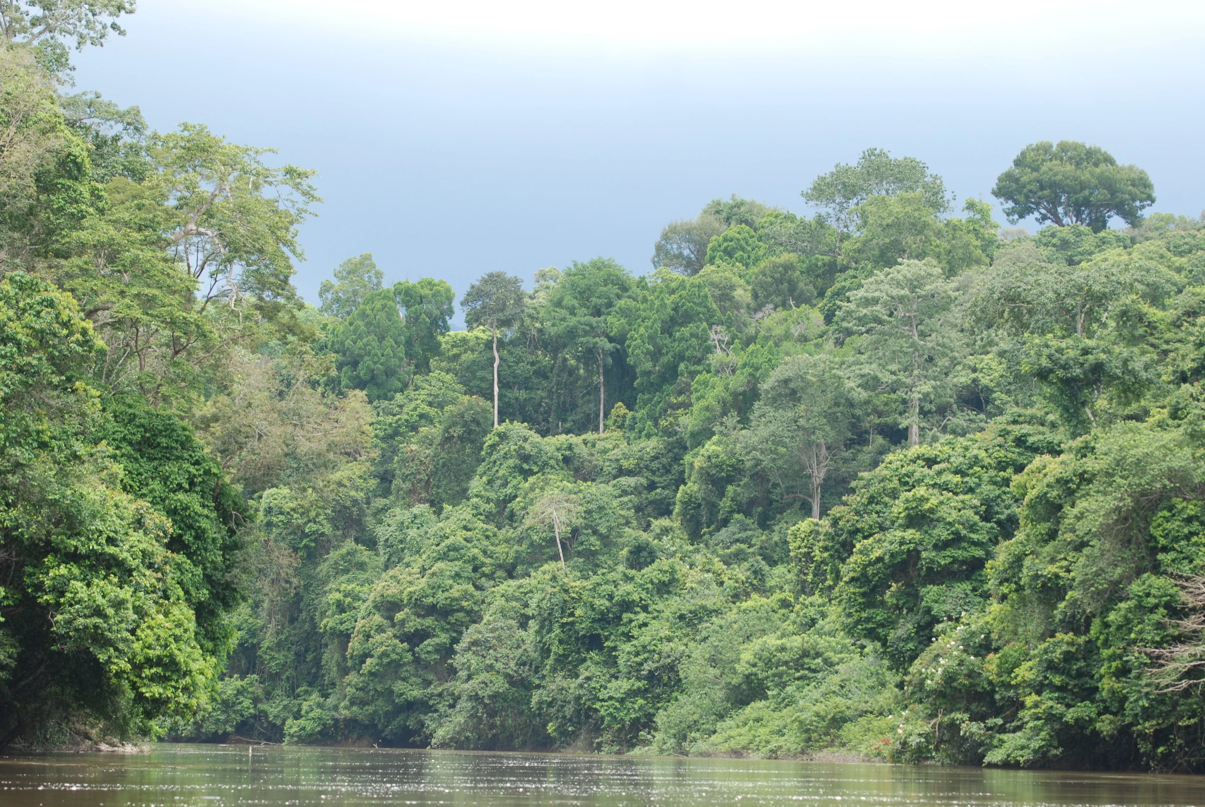
Preventing deforestation, forest degradation and ecosystem transformation provides the most urgent and immediate climate benefits, along with other positive environmental and social impacts. Primary forests, which are among the densest and most ecologically important on earth, cannot be replanted overnight.
-
2
Human rights violations
Deforestation is regularly accompanied by human rights violations worldwide. Indigenous communities are often forcibly evicted from their lands, while 80% of the world's biodiversity is found in indigenous areas.
-
3
Protecting public health
Scientists warn that we are going to face pandemics like COVID-19 more often. Wild animals and the diseases they carry are more likely to come into contact with humans due to the shrinking of their habitat. We can prevent this by stopping the destruction of forests and other valuable natural areas.
Results Forest Foresight
The deforestation prediction tool has been tested in several countries and is currently actively used in six countries. In Peru, Bolivia, Colombia, Gabon, Indonesia, and Laos, Forest Foresight is applied by local or national governments within their existing monitoring systems. This has already resulted in the successful prevention of illegal deforestation activities in Gabon and previously also in Indonesia. In close cooperation with governments and local communities, the groundwork has now been established for the ongoing conservation of primary tropical rainforests.
See how your contribution helps protect 300,000 square kilometers of rainforest in Peru:
Peru
By 2025, Forest Foresight will be in use by local and national governments in Bolivia, Colombia, and Peru. These new users of the AI tool received training last year to enable them to improve and maintain the prediction model themselves and integrate it into their current monitoring systems. In Peru, for example, Forest Foresight is helping the government in the Madre de Dios region, where they can keep a closer eye on the tropical rainforest—and habitat of the jaguar.
Bolivia
In Bolivia, the tool is actively used in three regions with tropical forests: the area around Charagua, the rainforest around the city of Santa Cruz, and the Concepción region. In total, the Bolivian government can now more effectively protect 770,000 square kilometers of tropical forest—18 times the size of the Netherlands—against illegal deforestation.
Colombia
In the southern Colombian province of Guaviare, 48,000 square kilometers of forest area are now better protected by the local government with the help of the prediction model. This region, located in the Amazon rainforest, is larger than the entire surface area of the Netherlands.
Gabon
In Gabon, Forest Foresight now covers six national parks, six Ramsar sites, and fifteen forest concessions, totaling approximately 65,000 km² of land that is being protected more effectively through the use of the prediction model. In addition, the national government institute AGEOS in Gabon has been successfully trained to run and maintain the Forest Foresight model itself. Ownership of Forest Foresight has thus been transferred.
Indonesia
In Central Kalimantan in Indonesia - in collaboration with the University of Palangkaraya - a pilot was conducted with Forest Foresight. Thanks to this system, scarce resources can be used better and more efficiently.
Laos
Last year, WWF-NL and WWF-Laos trained 15 participants from authoritative institutions in the use of the deforestation predictor. During a 10-day field visit involving multiple agencies, the results of the predictions were examined at 21 locations for signs of deforestation. The next step is to integrate the system at the national level.
Ambition
What do we want to achieve?
WWF's ambition is to use Forest Foresight to reduce illegal deforestation by 30 percent in tropical forests in the so-called ‘deforestation fronts’, areas most at risk for illegal deforestation. We do this by using Forest Foresight to address the underlying drivers of illegal deforestation and by contributing to better management and protection of forests.
After a successful pilot phase over the past two years with proof of positive results, Forest Foresight is now ready for scale up. Together with international partners, investors and local partners, Forest Foresight is planning to engage new landscapes with the ambition to have Forest Foresight up and running in 15 landscapes in 12 countries by 2027.
Collaborate with Forest Foresight and WWF
The World Wide Fund for Nature is looking for parties to invest, collaborate or implement Forest Foresight. Can you take Forest Foresight to the next level and contribute to our mission to reduce deforestation by 30%?
Learn here more about the initiative and how to join (PDF download) or contact the Forest Foresight team at FF@wwf.nl.
Partners of Forest Foresight
WWF implements Forest Foresight together with governments and local communities. The Forest Foresight program was developed and optimized through a collaboration with the Boston Consulting Group and a 'tech consortium' led by Deloitte with Amazon Web Services (AWS), Jheronimus Academy of Data Science and Utrecht University. Wageningen University and Research (WUR) and SarVision are the data and science partners providing tagged deforestation information based on radar satellite images.